 01
FIELD APPLICATION
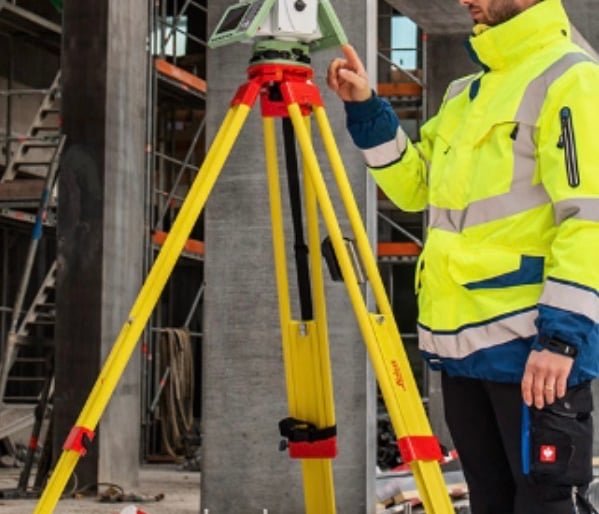
Topographic survey & stakeout
A GNSS or total-station workflow for collecting site detail, levels and design points.


PROJECT APPLICATIONS
Practical examples of Meridian equipment and surveying services without publishing unapproved customer names.
Talk to our team ↗01FIELD APPLICATION
A GNSS or total-station workflow for collecting site detail, levels and design points.
 02
FIELD APPLICATION
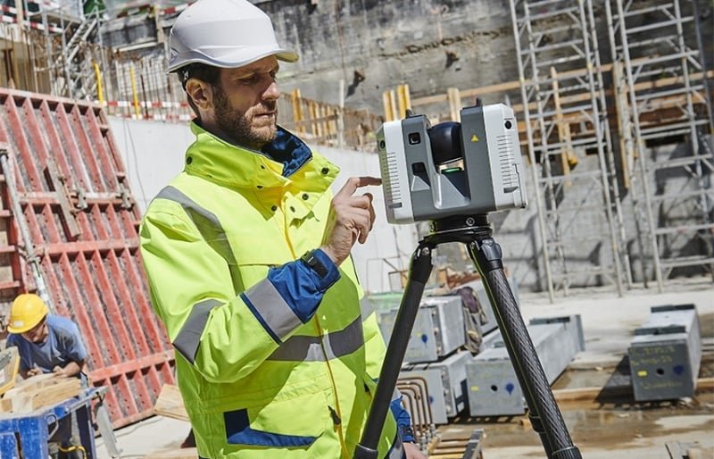
Three-dimensional point-cloud capture for buildings, sites, measurement and documentation.
 03
FIELD APPLICATION
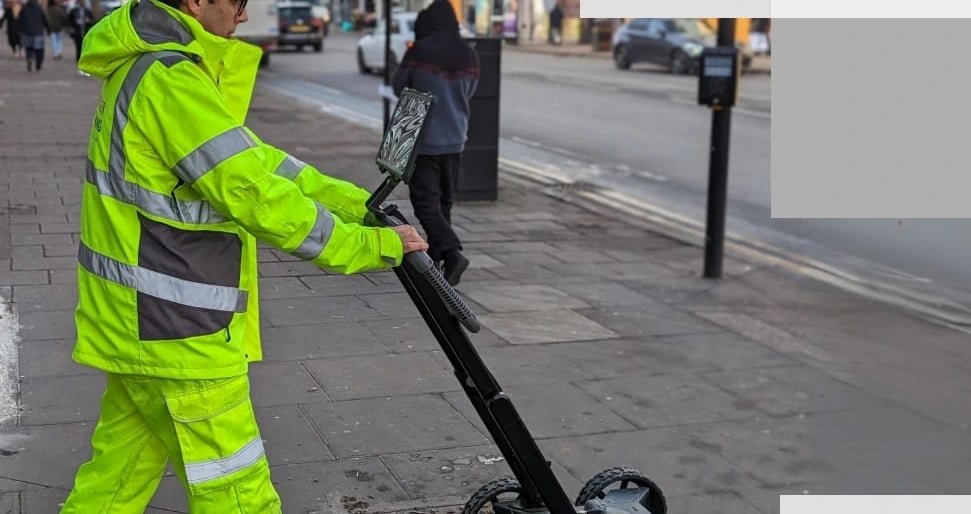
Field data that supports safer excavation planning and utility documentation.
 04
FIELD APPLICATION
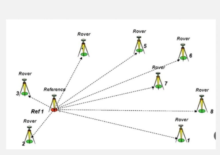
Dependable control points that give project teams a consistent measurement reference.
OUR APPROACH