200,000 points per second


Handheld SLAM LiDAR Scanner
Meridian
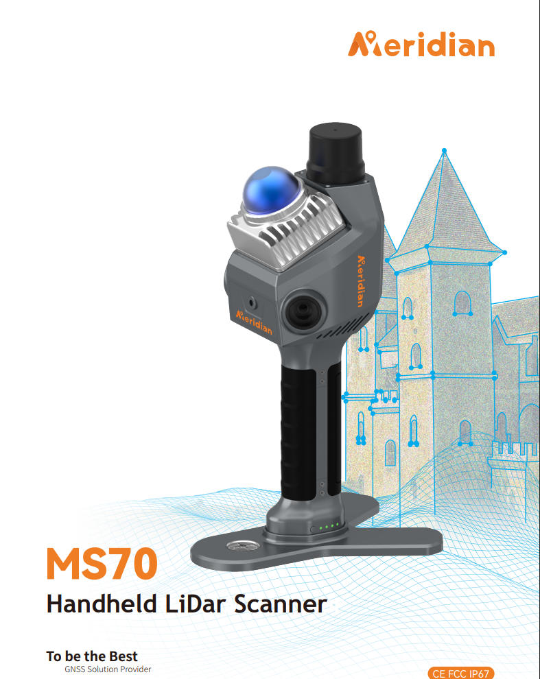
MS70
Meridian MS70 is a handheld LiDAR scanner for 3D surveying. It combines LiDAR, RTK, SLAM and dual wide-angle cameras to produce coloured 3D point clouds for single-operator indoor and outdoor work.
KEY ADVANTAGES
Key capabilities.
Dual 16MP cameras with 360×270° image coverage
LiDAR range up to 70 m
Relative accuracy up to 1 cm
BEST FIT
Suitable for...
- Building, facade and indoor-space capture
- Point clouds and Scan to BIM
- Volume measurement and 3D documentation
TECHNICAL SPECIFICATIONS
Detailed specifications.
The specifications below are based on available official product materials and may vary by device version or configuration.
LiDAR & Imaging
- Point rate
- 200,000 points/second
- LiDAR range
- 0.1–40 m at 10% reflectivity / 0.1–70 m at 80%
- Range noise
- ±1 cm
- Point cloud thickness
- ≤1 cm
- Cameras
- 2 × 16MP wide-angle cameras
- Camera field of view
- 360° × 270°
- LiDAR field of view
- 20° tilt mechanism
Accuracy & Scanning
- Absolute accuracy
- Up to ≤5 cm
- Relative accuracy
- Up to ≤1 cm
- Indoor accuracy
- ±1 cm
- Positioning system
- Integrated RTK and SLAM
- Supported satellites
- 7 satellite systems and 21 channels
- Update rate
- 10Hz
- Processing
- Real-time and post-processing workflows
Data & Software
- Export formats
- .las, .pcd and .ply
- Storage
- 256GB TF card, expandable up to 512GB
- Data transfer
- Wireless and USB 3.0
- Mobile app
- Meridian Lidar Go
- Desktop software
- Meridian Lidar Studio
- Tasks
- Volume measurement, Scan to BIM, indoor mapping and 3D reconstruction
Battery & Protection
- Handle battery
- 3150mAh quick-release battery
- Operating time
- Up to 150 minutes per battery
- Charging
- Type‑C PD 30W, about 1.5 hours average charging time
- Protection
- IP54 for indoor and outdoor use
- Operating temperature
- -20°C to +55°C
- Size & weight
- 110.5 × 140 × 313.3 mm with battery / 1079 g
Need help choosing the right solution?